The most scenic and challenging walk on Gibraltar. Climb the steps up the east face of Gibraltar. Spectacular views over Gibraltar Bay and the Mediterranean coast
By Nick Nutter | Updated 15 Mar 2022 | Gibraltar | Walking |
Login to add to YOUR Favourites or Read Later
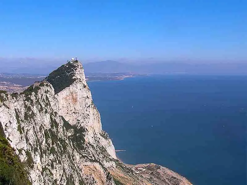
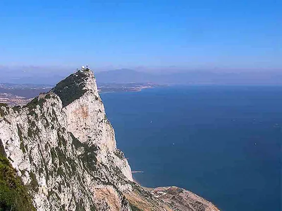
Spy Glass Hill
The sun, just risen and still hidden behind a menacing mass of rock that was more sensed than seen through the dense, moist fog that enveloped me, caused a glimmer of light to percolate through the pewter coloured, woolly clouds above. To my side, black against the grey sky, with tendrils of mist twining through it was the northern pillar of Hercules. Glimpsed 180 metres below, through thinning cloud, the shipping anchored in the bay gradually took form, floating on a gunmetal, flat sea. It was easy to understand how ancient mariners had attached a mystical importance to this place. A cup of steaming coffee helped while away some time whilst the sun burnt its way up the sky to take me out of the shadow of the Rock of Gibraltar. This is the starting point for the most spectacular walk on Gibraltar, the Mediterranean Steps.


Pillars of Hercules
At any time of the year dawn is the best time to start this arduous trek. On this particular day the sun would soon burn off the cloud and I would be shedding layers, first the anorak, still dripping wet, then the fleece as the temperature soared. During the summer dawn and dusk are really the only times to attempt this walk.
To the left of the pillar as you look out towards Africa, hidden on this day, is the Field Study Centre, run by the Gibraltar Ornithological and Natural History Society. To the left of this are some concrete steps that take you to the start of the walk and a map that shows you where you will be going.
The walk leads south initially through dense maquis but soon opening up into less dense garrigue. As the vegetation thins a spectacular view to North Africa 12 miles away across the Strait emerges. In season you will see clumps of paper white narcissi, asphodels, Dutchman’s pipe and Gibraltar saxifrage amongst the Esparto grass, dwarf fan palms and wild olive trees.
The path narrows and curves to the north as it takes you to the edge of the cliffs. Yellow legged gulls launch themselves off the cliff to soar over the sea. Their cries are piercing in the otherwise silent world you inhabit here. When nesting these gulls mob the unwary walker, swooping at your head and swerving at the last split second with cries of outrage that you have trespassed in their area. Do not fear, they are harmless.
You will arrive at the bottom of the first flight of stairs. These take you to a cave, Martin’s Cave, where the rare Schreiber’s bat roost and breed. On this day the bats are very sensibly still deep in the recesses of the cave. It is an excellent spot to sit, have a coffee and admire the view. For an oldie like me it is also the last chance to regain breath before the really strenuous part of the walk. The steps continue and lead to the Goat’s Hair Twin Caves, home to humans in the dim and distant past. These caves now hundreds of metres above sea level were once on the shore line.
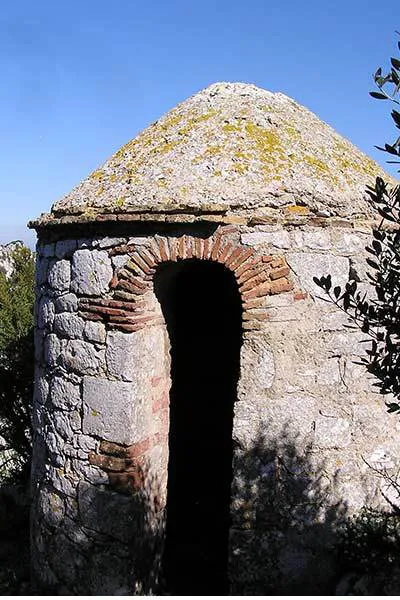
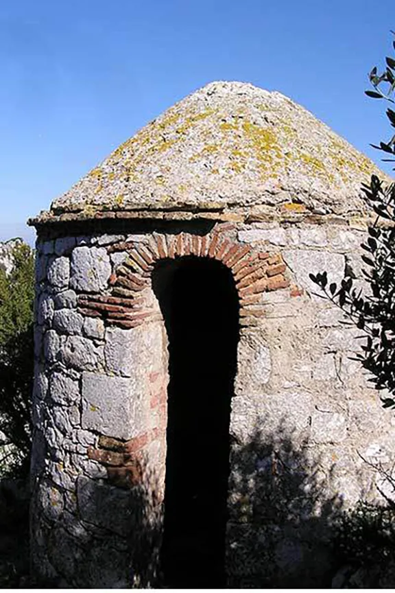
18th Century Lookout
At the top of this first flight there are some buildings built by the military during World War II and a short tunnel. Emerging from the tunnel you are treated to a unique view north along the east face of the Rock to Spain and the coast of the Costa del Sol. Between 1903 and 1961 the east face was covered in concrete and corrugated steel sheets. This 34 acre covering drained rain water into channels that then took the water to underground reservoirs. In 2001 the Gibraltar Ornithological and Natural History Society started to supervise the removal of the water catchment area and by 2006 it was returned to its natural state, a fossilized sand dune that had built up over hundreds of thousands of years.
The path winds its way upwards getting ever steeper. Keep your eyes open for the Gibraltar Candytuft that nestles in crannies in the rock face. The posts and ropes alongside the steps are currently (2015) being refurbished so be careful. This steep section takes you to the base of the final cliff. From here the path ascends in a zigzag up the vertical face. This final section before the top is home to no less than five species endemic to Gibraltar, the Gibraltar Candytuft, Gibraltar Thyme, Gibraltar Campion, Gibraltar Chickweed and Gibraltar Saxifrage.
Finally at the top you will be rewarded by views both east and west. Just to the south, on the summit ridge, are two 9.2 inch gun batteries. These are Lord Airey’s and O’Hara’s batteries. Last fired in 1972 by the Royal Gibraltar Regiment, the batteries were installed during World War II. O’Hara’s has been restored and is now open to the public.


Gibraltar Bay
Descend a few metres to the road and turn right heading down the hill. After about 200 metres you will see an old gun emplacement site beyond which is a set of metal railings designed to prevent motor bikes driving up the track. This track is the start of Douglas path. The path was constructed using convict labour to facilitate the movement of troops on the Upper Rock.
Continuing on you will see a ‘Moorish’ looking observation post. In actual fact it was probably built by the British soon after 1704. Even so it is one of the oldest buildings on the Upper Rock. From here you have superb views of Spyglass Hill to the north.
Just as an aside. In the Gibraltar museum there is an 18th Century painting by an officer stationed on ‘The Rock’ that illustrates this lookout post. What is interesting is that the whole of the Upper Rock is shown denuded of trees and shrubs. The troops cut the whole lot down for firewood and to feed the lime kilns that were dotted around the isthmus.
You now descend a steep flight of stairs to the top of the Charles V wall. From here it is a short walk through the Barbary macaque feeding platform to the cafe above the cable car station.
To return to Jew’s Gate turn left on the road and follow it until you reach St. Michael’s Cave. Pass the cave entrance and turn left through the car park. On the right you will see a path falls away to the right.
Walk down this path. Be careful, sections of it have been washed away and it has not been restored. The views across to Algeciras however make up for any discomfort. You will reach a road that you cross onto another path that takes you steeply downwards. Quite suddenly you will find yourself back at the map detailing the Mediterranean Steps walk and Jews Gate.
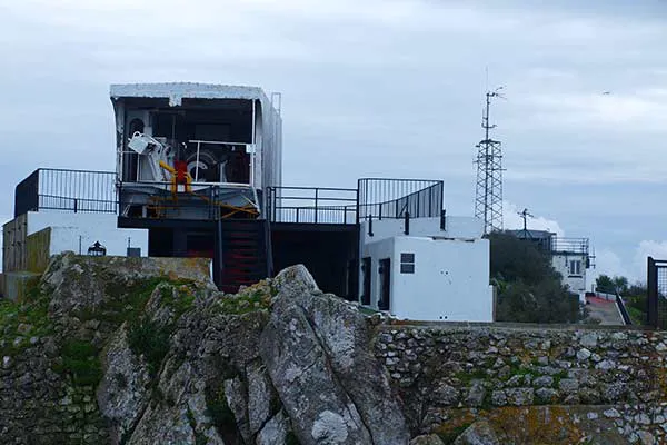
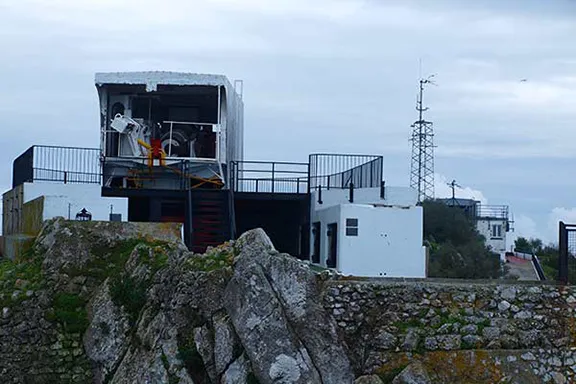
OHaras Battery
Many people wonder where the name Jews’ Gate originated. Between 1746 and 1848 a Jewish cemetery, Jews’ Gate Cemetery, also called Windmill Hill Cemetery, was located here. Why the Jews buried their dead there is not known. One theory is that, by keeping a low profile and not burying their dead in the Christian cemetery, they could avoid expulsion from Gibraltar which had been mandated by the Treaty of Utrecht in 1713. In 1848 the Governor of Gibraltar ordered that, ‘no more interments shall take place at the former Burial Ground above Wind Mill Hill but that all future Hebrew dead shall be deposited in the allotted portion of the New Cemetery.’
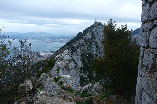
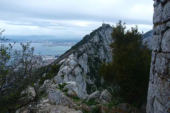
Steep Steps Down
Start and Finish: Jews Gate on Gibraltar. (Pillar of Hercules)
How to get there: Take the steep road signposted Upper Rock which is just past the Rock Hotel. (You can catch a bus to the hotel). Just past the first toll booth and adjacent to the second, on the left is a flight of concrete steps, the start of the walk.
Distance: 7 kilometres.
Difficulty: Hard.
Essential: Boots, food, water.